FIRST WARN FORECAST: You’ll want to make weekend plans, but a bump in the road first
We have some wonderful spring weather lined up for the weekend, and you will want to make plans outside. In fact, it may bring some of the warmest weather so far this year. But first, we have a few small bumps in the road.
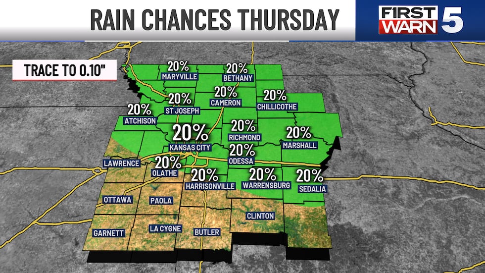
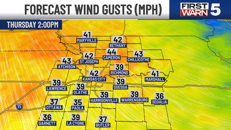
THURSDAY: Windy and not quite as warm. The morning starts in the mid-40s, and a few patchy light showers are possible. You are more likely to stay dry than see rain, but it’s not off the table. We are clear by lunch time, and the afternoon warms to the upper 60s (about 5-10 degrees cooler than Wednesday). The afternoon winds crank up to 35-40 mph gusts from the northwest. We could also see a patchy evening shower or two, but again odds are low.
FRIDAY: Not as warm, but a very nice day. Near 40 in the morning, low 60s for the afternoon. Mostly sunny with lighter winds.
SATURDAY: An outstanding spring day. Warmer low 70s, sunshine, and a soft southeast breeze at 10-15 mph.
SUNDAY: Possibly the warmest day so far this year with low to mid 80s. Partly cloudy, but winds pick back up from the southwest with gusts to 30 mph.
MONDAY: Scattered morning rain and cooler with upper 60s.
Copyright 2025 KCTV. All rights reserved.


