FIRST WARN FORECAST: Temperatures fall for Monday, growing Easter rain chances

Sunday was our warmest day of the year so far, but temperatures come falling down for Monday as our next cold front sweeps through.
Published: Apr. 13, 2025 at 5:43 PM CDT
Email This Link
Share on Pinterest
Share on LinkedIn

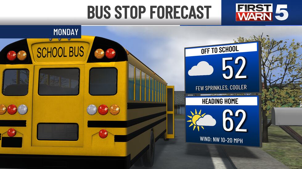
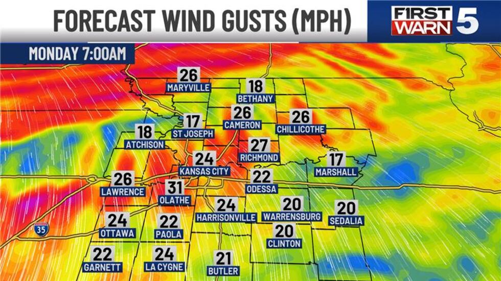
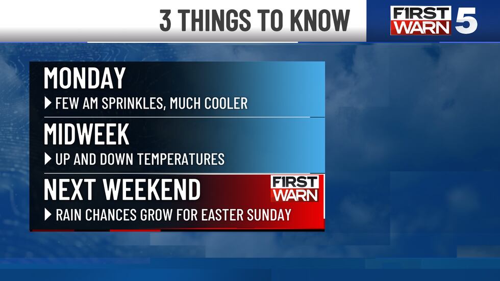
KANSAS CITY, Mo. (KCTV) - Sunday was our warmest day of the year so far, but temperatures come falling down for Monday as our next cold front sweeps through. Winds have started to shift out of the northwest, a sign the front is slowly coming in. This won’t be a dramatic change, as it will take some time for temperatures to drop. Those overnight lows will only be in the lower 50s, so it’s still a fairly mild start to Monday morning. You will notice the changes come Monday afternoon, with highs only in the mid-60s.

Sunday was our warmest day of the year so far, but temperatures come falling down for Monday...
Sunday was our warmest day of the year so far, but temperatures come falling down for Monday as our next cold front sweeps through.(KCTV5/Warren Sears)

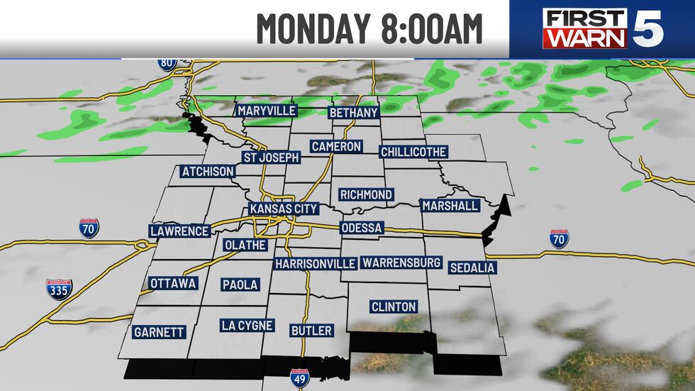
As the cold front fully clears the region, there is a small chance for a few sprinkles or light showers to the north for the morning commute, then that 20% chance drifts closer to the KC metro mid to late morning. It does not look to be impactful whatsoever. Clouds will clear eventually into the afternoon/evening.

Sunday was our warmest day of the year so far, but temperatures come falling down for Monday...
Sunday was our warmest day of the year so far, but temperatures come falling down for Monday as our next cold front sweeps through.(KCTV5/Warren Sears)
Sunday was our warmest day of the year so far, but temperatures come falling down for Monday...
Sunday was our warmest day of the year so far, but temperatures come falling down for Monday as our next cold front sweeps through.(KCTV5/Warren Sears)
Sunday was our warmest day of the year so far, but temperatures come falling down for Monday...
Sunday was our warmest day of the year so far, but temperatures come falling down for Monday as our next cold front sweeps through.(KCTV5/Warren Sears)
Sunday was our warmest day of the year so far, but temperatures come falling down for Monday...
Sunday was our warmest day of the year so far, but temperatures come falling down for Monday as our next cold front sweeps through.(KCTV5/Warren Sears)
Sunday was our warmest day of the year so far, but temperatures come falling down for Monday...
Sunday was our warmest day of the year so far, but temperatures come falling down for Monday as our next cold front sweeps through.(KCTV5/Warren Sears)

Tuesday will be a sunny day with temperatures near normal for this time of the year in the mid-60s. Nice day; might be a touch breezy out of the northwest.

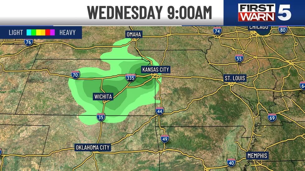
We are still watching a slightly higher rain chance out there on Wednesday, but there is not a lot of agreement between our computer models. We are continuing to ride with a 30% chance through midday. Temperatures look to climb again for Wednesday and Thursday. Wednesday in the 70s turn to the lower 80s Thursday.

Sunday was our warmest day of the year so far, but temperatures come falling down for Monday...
Sunday was our warmest day of the year so far, but temperatures come falling down for Monday as our next cold front sweeps through.(KCTV5/Warren Sears)

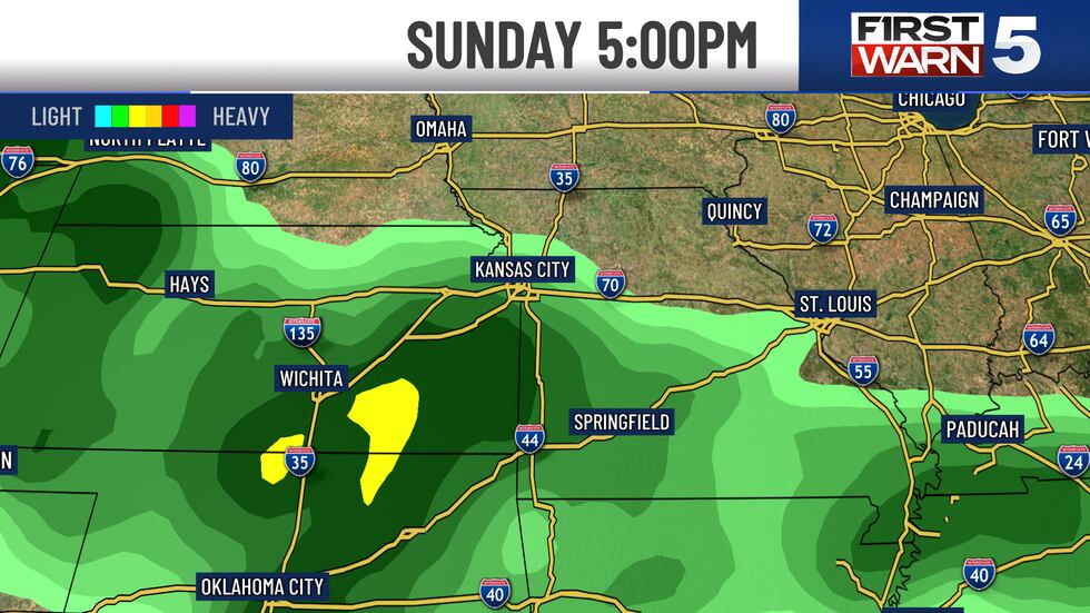
I did add a new First Warn to the forecast for Easter as rain chances are growing. I know it is still a week away, but there has been a good agreement for a larger storm system to come through sometime Sunday, midday. It does appear the morning is trending to be a bit drier than the afternoon, but if you have outdoor Easter plans, keep a close watch on our forecast. Does not appear to be a threat for severe thunderstorms, but multiple hours of rain is not out of the question.

Sunday was our warmest day of the year so far, but temperatures come falling down for Monday...
Sunday was our warmest day of the year so far, but temperatures come falling down for Monday as our next cold front sweeps through.(KCTV5/Warren Sears)