Nice weather the rest of today, First Warns for the holiday weekend
KANSAS CITY, Mo. (KCTV)— This will be the last day we have full sunshine and temperatures around 70° until next week. Enjoy! We see our next storm system move in on Friday, bringing rain, storms, and low severe weather risks through Monday.
With lots of sunshine, temperatures will warm up to 70° by 3 pm. Between 3 - 7 p.m., isolated rain showers are possible along the southern border; the remainder of the area should stay dry.
Now to the ample rain chances and First Warns in the forecast - Friday, Saturday, Sunday, and a 30% chance for rain on Monday. There will be periods of rain and storms, but no day will be an all-out washout. However, if you have plans outside, you’ll need to pay attention to the rain timing over the next few days. On top of the rain & storm chances, it’ll be cool! High temperatures range between 63 -68°.
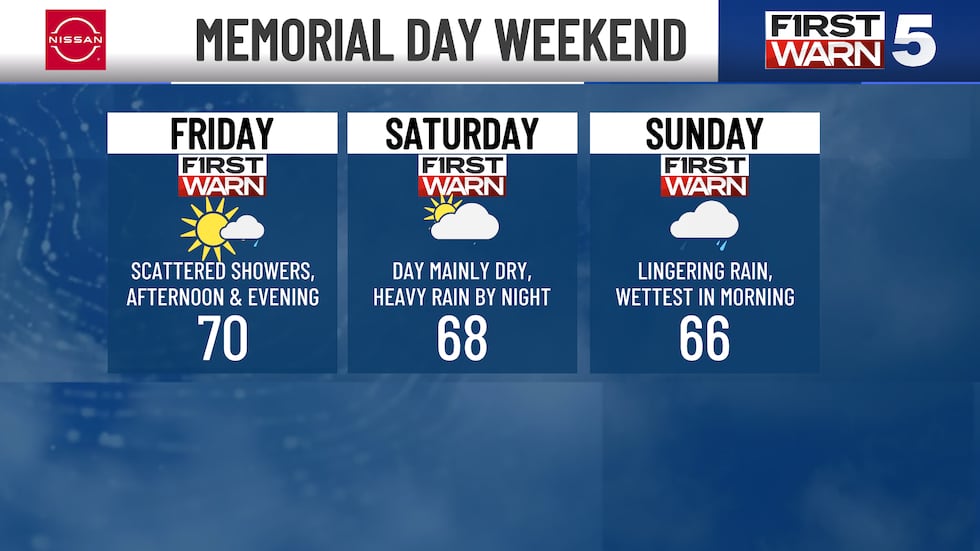
FRIDAY: The First Warn on Friday is for the 40% chance of rain and storms, chances will be highest in the second part of the day. There is a level 1/5 risk for a few isolated strong to severe storms in our southwestern areas. Damaging winds and hail are the primary threats. Rain chances will start scattered for our northern and southern areas in the morning until the afternoon. The rest of the day remains scattered across the area, and chances continue into Saturday morning.
WEEKEND: Saturday also brings us a First Warn for rain and storm chances, but it will be in two potential rounds. The first in the morning, likely scattered in nature along and south of I-70. We should see a long break period before scattered activity returns by the evening and into the overnight across the area. This second round will bring the chance for isolated strong to severe storms with a level 1/5 risk for severe storms for many of us. Damaging winds, hail, and heavy rainfall are the primary threats. Saturday evening will continue into Sunday morning. There is a 50% chance of rain and storms, mainly in the morning, but activity may linger throughout the day.
MEMORIAL DAY MONDAY: Spotty to scattered rain remains in the forecast for Memorial Day, too. Plus, it will be the chilliest day of the next 7. Highs will only reach the low 60s, We will be around 63° in the metro, which is close to the record coolest high temperature of 62°. This will be one of the coolest Memorial Days since 1973!
Over the course of these days, we could see 1″ to 3″ of rainfall along and south of I-70 with an inch or less north of I-70. Therefore, there are some flooding concerns especially in our southern areas.
We finally dry out Tuesday and Wednesday. Sunshine is expected, but temperatures remain below average in the upper 60s and low 70s.
To get the latest weather updates sent to your phone, the KCTV5 Weather app here.
Copyright 2025 KCTV. All rights reserved.


