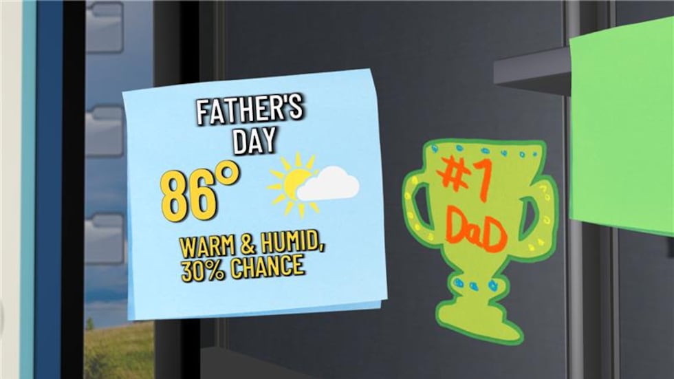
First Warn Forecast: Sunny and warm Saturday with possible storms Sunday
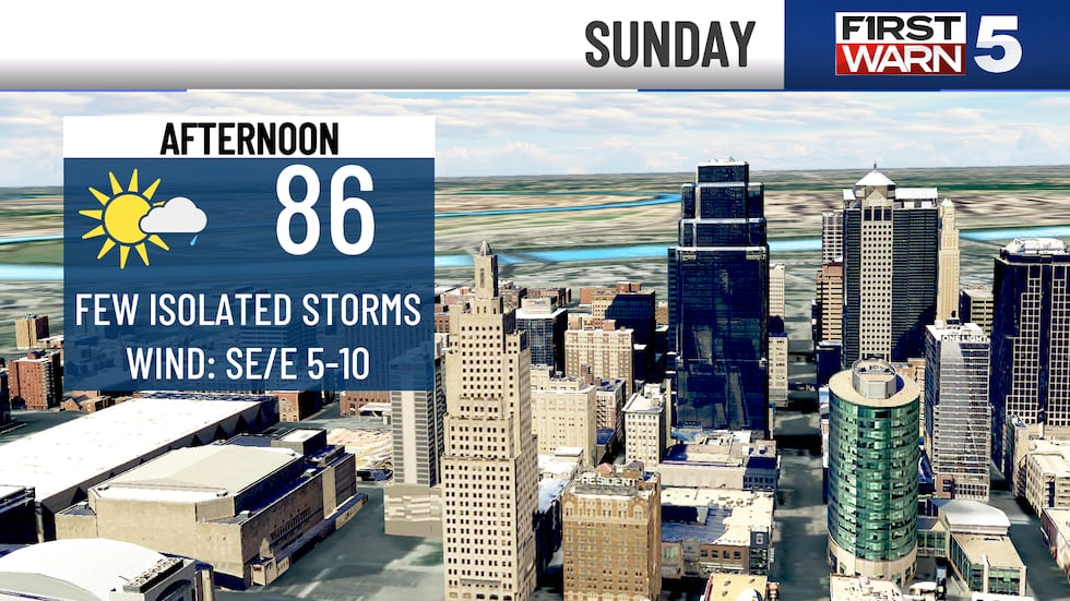
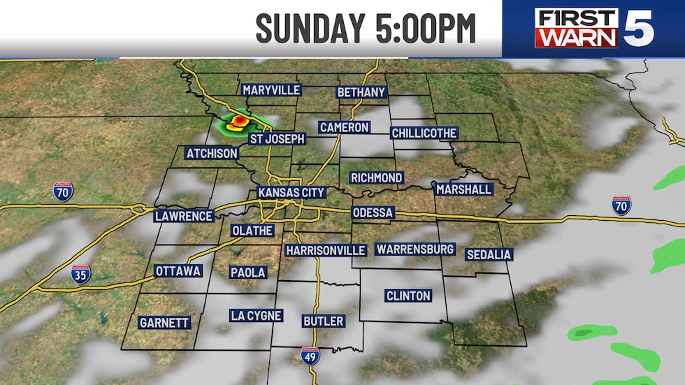
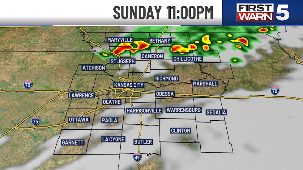
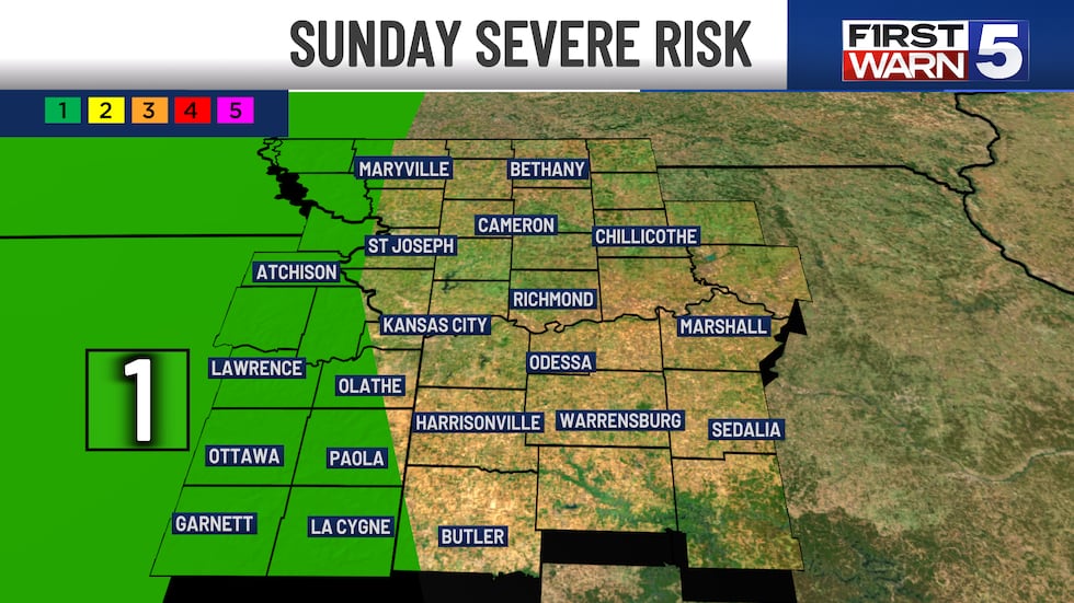
KANSAS CITY, Mo. (KCTV) - A large complex of thunderstorms is expected overnight across northern Oklahoma and southeast Kansas and into early Sunday morning. The risk for severe thunderstorms generally stays to the southwest of the KCTV coverage area, but a level 1/5 risk is in place basically up the Kansas/Missouri state line. There could be a few showers and rumbles overnight and early Sunday, but confidence is pretty low for that. We are expecting a good chunk of Sunday to be dry, but in the heart of the afternoon and evening a few more isolated showers and rumbles are possible. This is just a 30% confidence at this time. There could be a few isolated thunderstorms with small hail and gusty winds, but the coverage is looking minimal. High temperatures in the afternoon will be in the mid to upper 80s. With high humidity, it could feel like the lower 90s. Our sun is incredibly strong this time of the year. Take heat precautions if you have outdoor plans! Our high resolution computer models are suggesting a complex of storms dropping into northern Missouri late Sunday evening from Iowa. The signals for severe storms are low at this time.
Monday should be mainly dry and humid as well. Highs will be in the mid to upper 80s basically the entire next week.
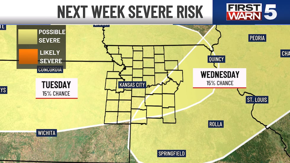
Tuesday is our next First Warn as we are watching the potential for thunderstorms that could be strong to severe. Currently there is a 15% chance for severe weather across the KCTV coverage area. There are ingredients in place for storms with gusty winds and hail, but at this time the computer guidance hasn’t pinpointed the timeframe just yet. Some suggest better morning chances with others more in the heart of the afternoon.
Upper 80s to near 90 degrees is expected for the end of next week. With the higher humidity staying in place, there will be a few other isolated thunderstorms chances. Summer officially begins Friday, June 20th.
Copyright 2025 KCTV. All rights reserved.


